Kings Canyon, the Central Valley, and San Francisco pt.2

Written by admin on August 27th, 2010

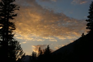
water and air and light=Kings Canyon sunset

This week, the Project continues of its discussion about connections between unlikely places- and goes out on a limb to talk, for a moment, about another element very related to water: air.

Connection Two: Kings Canyon, the Central Valley, and San Francisco

When we go to the mountains, besides seeing wild rivers, one of the other things we expect is that fresh mountain air. Ahh, to be away from the smoke and exhaust and noise of the city and take a lungful of pure pine goodness in.

I was surprised to see an Air Quality Indicator at the Kings Canyon Ranger Station set at the second to worst level: “MIGHT CAUSE HEALTH PROBLEMS FOR SENSITIVE PEOPLE WITH ASTHSMA OR OTHER RESPIRTORY CONDITIONS.” But there were many fires burning in the parks- controlled and lightning ignited.  So we asked the ranger about it. She said that yes, the smoke from fires was a contributing factor to the air quality, but that the serious and ongoing problem was Central Valley haze.

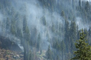
Controlled burn in Sequoia

We remembered that haze. As we were climbing into the mountains, looking into the Valley, it was hard to believe that we had not collapsed from breathing that dark brown muck hovering above Fresno. It was a known fact that if you wanted to get a clear picture in Sequoia or Kings Canyon Parks, you’d better get up real early before the haze started rising into the Parks.

Did the Central Valley really create that much pollution, we wondered?

No. It doesn’t. Of course, growing populations in the Valley don’t help matters, but a clear diagram explained exactly where the haze was from: where we were from, the San Francisco Bay Area.

I always thought our haze blew to Sacramento. Which it does. But then it continues its meander south down the Valley, until it hits the Tehachapi Mountains at the southern end. As it hits those mountains, some of it bounces back, creating a spiraling air column that cyclones straight towards Fresno, and behind Fresno, up into Kings Canyon and Sequoia.

So, the city I live in, hundreds of miles away, is not so far away as I’d thought.

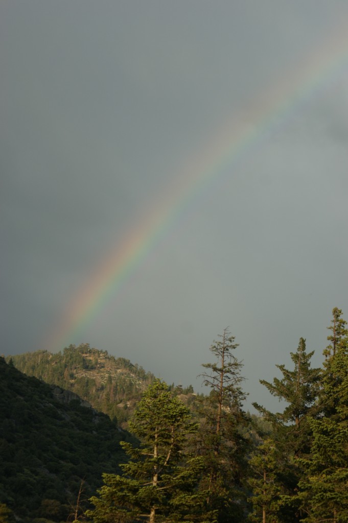
water and air and light=Kings Canyon rainbow

All photos by James Kovacs
 

Kings Canyon, the Central Valley, and San Francisco, pt. 1

Written by admin on August 18th, 2010

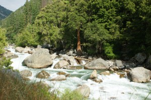
the Kings River

Places that might not seem like they have so much in common.  A raging river cutting through a steep and narrow canyon. The Valley known for its agricultural abundance, its stretches of flat. And the bustling city of a million different faces- and fog, don’t forget the fog.

But as so many places seem smaller and closer together these days, intimately more connected than they used to- through technology or our awareness that nature cannot indefinitely support all of our uses for it- these places are no different. They are connected by the tenuous threads that hold us all together.

Connection One: Kings River and the Central Valley

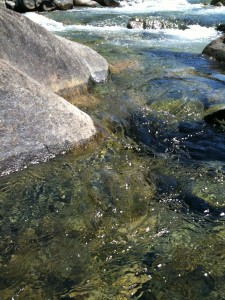
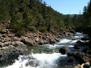
For those of us who have been to Kings Canyon, we think of the river as it pours over granite boulders, its white strength baring knuckles around canyon bends. Even if you haven’t been there, you can see it. A pristine and wild river cutting its way through a National Park.

We drive up into the mountains, to National Parks, to see this sort of beauty. In the Kings River’s case what is strange is that it is wild up near its headwaters, but as it flows out of the National Park, and out of our consciousness, the whole river is swallowed up by human uses. Not a drop of it- except in extremely wet years- gets to the place it used to end up- Tulare Lake.

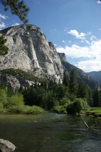
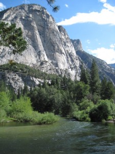
the river near Zumwalt Meadow

I’ve talked about Tulare Lake before- it was at the southern end of the Central Valley – in fact, the biggest lake west of the Great Lakes. Every year, during the wet season, it left its banks, and flooded large portions of the Valley’s floor. Most rivers end up in the ocean, not in lakes. But the Kings River, along with the Kaweah, the Tule, and the Kern, had their own minds and fed into Tulare’s large freshwater lake and marsh.

The crazy thing to me is that we talk sometimes now of environmental doomsday, of the day when the sea rises and the heat is sweltering. Of the day when there are no trees and little freshwater. The Kings River is an example of how close we are. If you can imagine a hearty mountain river, endlessly pouring water down its chute and imagine who could be thirsty enough to drink every last drop of that endlessness, you can imagine how strange it is for a river’s water to be entirely used up before it gets to its destination. As the Kings River is.

It not all so simple of course. Because the river water is not going to endlessly thirsty Southern California, nope, it is going into a series of irrigation canals, to grow our food and to create space to grow even more food. In fact “the express purpose of the Pine Flat Dam on the Kings River, was to keep water from ever reaching its traditional terminus in Tulare Lake, so crops could be grown on the dry lakebed.” (Intro, p. 146)

We are here.  In the land where a whole river is swallowed. Sometimes though, its real strange to think: how we did get here?

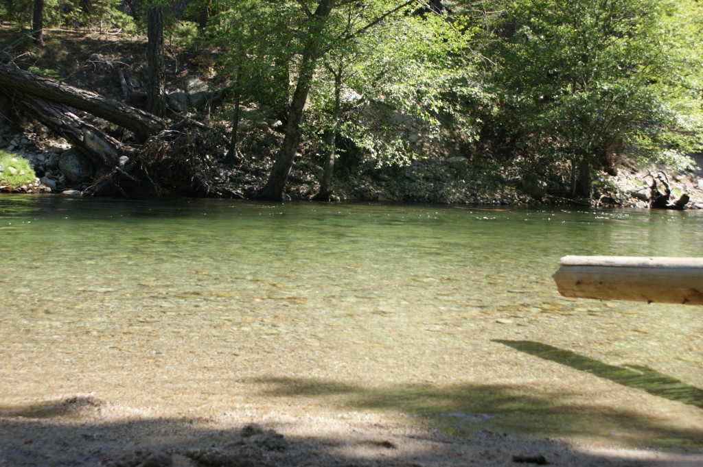
the Kings River's quiet side.


Kings Canyon: Glacier

Written by admin on August 12th, 2010

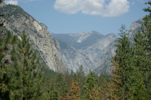
Glacier shaped Kings Canyon

The most badass sculptor on earth. If you’ve ever seen Yosemite or Kings Canyon, you know this to true. Thousands of sheer feet of granite. Rock formations that boggle the mind. Cathedrals. Castles. Spires. Carved by raw strength, the power of water’s most cataclysmic form: glacier.

If you weren’t impressed by a river’s ability to carve a deep valley; if you ever underestimated the strength of innocent, giggly water, water in the form of a glacier will make you think again.

A glacier is “a perennial mass of ice which moves over land.” It is this moving, this slow melting and shifting, that has cut and formed some of the most beautiful places on earth. Yosemite and Kings Canyon are great examples of glacier carved valleys. John Muir figured this one out. No one could understand why most valleys were shaped like V’s, but Yosemite and King’s Canyon were shaped like U’s with massive flat valley floors and sheer cliffs of rock.

After volcanic action formed the granite of these canyons, unfathomably large glaciers began their sculpting work, melting and expanding, melting and shifting, cutting and exposing until the expansive canyons we know today were formed.

Interesting bits and pieces about glaciers: English folks pronounce glacier “glass-e-ar.” Cryosphere is the word that describes the portion of earth where water is in solid form. And one of my favorites: tidewater glaciers are glaciers that terminate at the ocean. As they reach the sea, pieces of them break off, or calve. In other words, tidewater glaciers give birth to icebergs.

Glaciers are also the largest reservoir of fresh water on earth. This is why they come into the global warming conversation all the time. We’ve all heard the one that if a particular glacier in Greenland melted, the sea would rise 20 feet. There are other glaciers or ice sheets that would cause the sea to rise 165 feet if they melted. So we should probably do our best to respect their strength. And admire their handywork.

Kings Canyon pic: James Kovacs
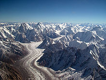
Pic below courtesy of wikipedia: the flowing Baltoro Glacier in Pakistan.


King’s Canyon: Lake.
Written by admin on August 5th, 2010

The next three segments of the Sweetwater Project will relate the stories and revelations of a trip to Kings Canyon and encounters with its watery side.

King's Canyon

Kind of a strange trip, a bit off kilter, and in the midst of confusion, it was as if the world was speaking to us through signs. Strong elements. A thunderstorm we watched approached on the other side of the river, our side without rain, and the other being pelted with raindrops. Lightning. A rainbow. Fire caused by lightning burning up the canyon behind our tent. Let burn by the park service. A clear green river. Towering granite formations cut by the world’s most accomplished sculptors- glaciers. Every night watching bats snatch moths from dusk. And on the last day, finally, a pleasant sunny day by a still body of water, the gentle touch I needed, a lake.

Lake

“a body of liquid on the surface of a world.” – the poet, Wikipedia.

I have to admit, of all natural bodies and forms of water, the lake was always the least interesting to me. I grew up by the Pacific Ocean, rocked by the loud crash and surge of that titanic body of water. Of course, as you know, I’m pretty partial to rivers too. Moving, roving streams of water that somehow find their way together, and gurgle and splash as they move across the land. Lakes, however, are quiet. Generally, there are not big enough waves to bodysurf on. They normally don’t lead anywhere. They have always seemed kinda static to me.

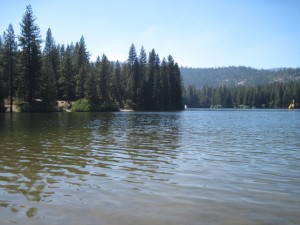
Hume Lake

But taking a step back on this trip, next to gentle Hume Lake, I started to wonder: what the hell is a LAKE? Wikipedia gave me an answer I wouldn’t have expected- “a body of liquid on the surface of a world that is localized to the bottom of a basin.” Mostly it’s straight ahead, but what about the surface of ‘a world’ rather than the surface of ‘the world’ or ‘our world?’ But no my friends, the beauty of lakes is that they are not just confined to our small Earth, no. Lake can also be found on the world Titan, Saturn’s largest moon.

On Titan, the ‘bodies of liquid on the surface of the world’ contain liquid ethane and probably methane as well. Gaseous fluid lakes.

The next biggest surprise to me is that lakes are “temporary over geologic scales,” because they are destined to slowly fill with sediment or find their way out of the basin they are held in, and to the next low ground to flow on. Guess they’re not so static after all; only to my microscopic perspective.

Interesting tidbits: in England, most of the lakes in the Lake District are not named Something Lake, but are called Waters or Meres. In Scotland, almost everything we would call a lake, they call a loch. (aka Loch Ness)

Lakes generally occur in mountains or other low-lying basins or sinks. Basically, a basin that collects a gulp of water for a millennia or so till the plug gets pulled. A collection of water in a creased hand that can only be a birdbath for a bit. An umbrella upside down collecting the rain. That tiny little puddle on the sidewalk that’s a Lake Tahoe to the ants.

Needless to say, lakes has got a lot to relate. They’s coo. They’s hip. Lake.

another sweet lake: Siskiyou Lake


The Sacramento River’s birthplace in pictures

Written by admin on July 8th, 2010

The Sacramento's birthplace, Mt Shasta

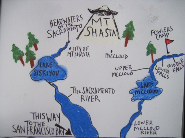
Cold jets of water pouring from a rock wall is how the Sacramento River begins. As most rivers do, the Sac starts small, picking up momentum with each river added until it is the Sacramento we know it as, wide and smooth. We sit at the end of pipes on one end, and on the other end is river country. The Sacramento River originates from this land around Mt Shasta- of trees and sky and LOTS of water.  In this river country, we found ourselves by rivers of such lushness and plenty, of such primal beauty that we could’ve been in Costa Rica (the lower McCloud). Camped by waterfalls that the Wintu, the native people of the area, call “falls where the salmon turn back” (Lower Falls on the upper McCloud). Crunched our footprints into the icey white blanket that is our water reserve on the flanks of Mt Shasta.

Take a visual trip through the homeland of the Sacramento River. This is what is on the other end of your (California’s) water pipes.


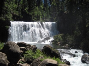
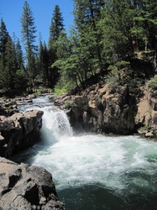
Middle Falls on the Upper McCloud River

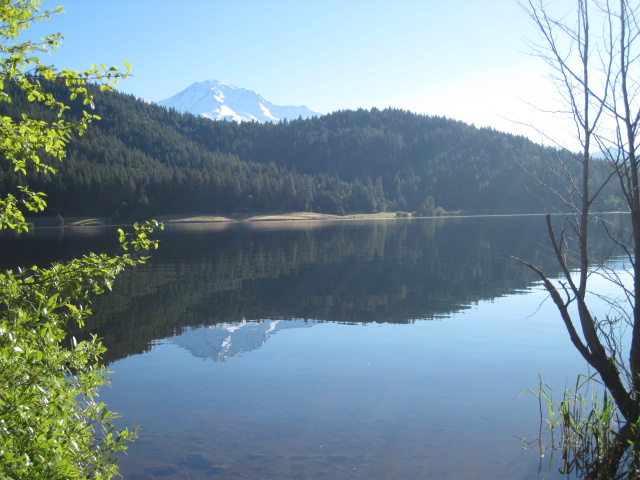
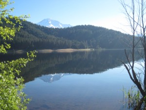
Lake Siskiyou and Mt Shasta

the primal lower McCloud

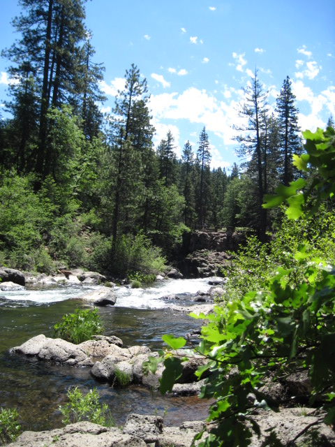
Upper McCloud River at Fowler's Camp

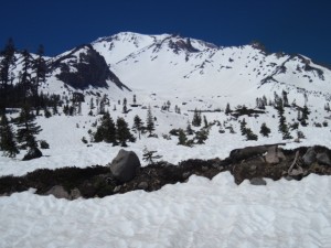
California's water reserves stored in snow on Mt Shasta

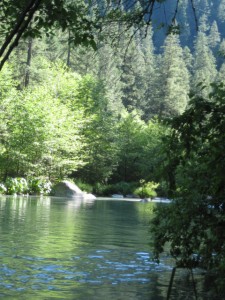
a calmer stretch of the lower McCloud

"Falls where the salmon turn back"

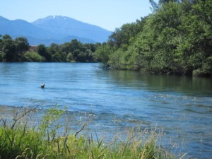
the lower Sacramento River near Redding


The Sacramento River and Mount Shasta

Written by admin on July 1st, 2010

the headwaters of the Sacramento

Thinking of my sister, who’s made her own sort of pilgrimage to the Holy Ganga of India, the Mother of Rivers where people come to pray, to drink, and to die, the only journey that could possibly compare in California, is to the source of our watery lifeline, the Sacramento River.

The Sacramento is the aorta of California’s water circulation system, the mother of all Californian rivers, carrying nearly a third of the state’s freshwater runoff. And in the case of the Sacramento, the comparison between rivers and mothers is not a stretch. The river gives us ample water to drink, grows our food, waters our landscapes, carves our computer chips, and at the same time nourishes the plants on her banks and the fish in her streams.

Just as a mother feels the incessant needs of her children (especially a Californian momma), and precariously struggles with that elusive word ‘balance,’ so the Sacramento feels many pulls on her. The pull to grow our food. The Sacramento gives water towards not only our sustenance, but towards our wealth as a state, being the cornerstone that supports CA as the fifth largest economy in the world.

The pull to quench our thirst.  Rivers that feed into the Sacramento, provide most of Southern California’s drinking water. Rising urban populations ever at odds with agriculture.

The pull to support all of our human needs. And at the same time, the needs of the plants, trees, marshes, salmon, trout that depend on her. And like a mother, she keeps giving, even at her own peril, even as her body threatens to give out.

It was a special thang, then, to visit the source of the Sacramento. As with all sources, the headwaters of the Sacramento are small, unassuming. Impressive because of the great river they will become. And the purity of the water. Flowing out of the rocks in the corner of Mt Shasta’s city park.

One of the only watery spots I’ve ever been to, where the attitude of reverence pervades the air. There are angel-lovers and Lemurian devotees, as Shasta tends to draw a crowd of eclectic belief systems. But there are also the more down-to-earth folks- who come to stand quietly, reflecting- possibly on how such a small spring of water could turn into a gigantic river like the Sacramento. Everyone takes their turn to drink from the spring, which has the sweetest, most delicious water. After all, the headwaters of the Sac are the place this water first issues from the stony gut of Shasta, filtered through lava tubes deep in the mountains core.

People of all ages bring bottles. And come to drink. And for a moment, reflect.


Reflection Two

Written by admin on June 23rd, 2010

Looking over the last six months, the maiden six months, of the Sweetwater Project, I think of what an amazing/crazy journey its been- getting to know about water more, and at the same time understanding so little. As I learn more,the world of water seems dangerously complex and intricate. Its enough to bowl me over sometimes. So, I stick to what’s important.

For me, what is most important about this whole project is deepening my relationship to water (and maybe,yours too!) – even just having a relationship. Just touching my toe to a lake or a creek, smelling water plants growing, hearing gurgling and sloshing and trickling. Following a water course to its transition. Making even a slight effort to see its nature- the things we love about water, its nurturing and life-giving properties, its beauty, and also, the things that drive us nuts, floods and monsoons.

For it is there, when we see and feel our relationship to water, that we see our relationship to life. To each other as humans, to the natural world, to our own private, delicate existence. We see our desire to dominate, we see our need, our fear of death, our desire for stability and safety. We see our desire to control the uncontrollable. We see the way we play money, political, and ego games; we see our love of beauty, our love of invention and overcoming obstacles, we see the better sides of our nature (and the harder) all reflected back at us.

All the details and policies get complex, but our mindset is under our control. And from a loving mindset, loving actions follow. I sound like the I Ching right now. But hey, seriously, you may think its funny for being a lover of water that I’m (shhh, this is a secret) not really a conservationist. I just like water- simple as that. I have begun (and only begun) to really care about water. And as I care more, my actions change to reflect that. Conservation may flow from my caring mindset. But it is not enough in itself. If we want to get ourselves and other people to save water, do something for the environment, or to make any step towards creating the world we want to live in, we must start from developing awareness into a deep and gentle caring about the world we live in.

The other thing I am even more deeply committed to since the inception of the Project is keeping an ethic of simple.We humans can get kind of complex about things. Especially in the realm of technology. Obviously, I appreciate human creation and innovation, but I like to stick to the ethic of using human invention when its needed, when it does make life easier, not just for the sake of it. Appropriate technology. I love those two words. Expect the Project to move towards simple and effective ways to respect water- swales, making natural filters, contouring land to catch water, graywater, more…

Also, check out what’s NEW with the Project!
Check out the updated Water Organizations page for tons of great resources!
Donate to the Sweetwater Project– Click the Donate button on the sidebar and make a donation to the Sweetwater
Project through PayPal. Thank you for supporting the Project’s work!
Give feedback on where you’d like our waterscape to be, where you’d like the Project to go….

This next week, the Project journeys to the Northern reaches of California, to track the Sacramento River,
the aorta of our river system, to its source at Mount Shasta. Stay tuned for stories!


Retrofittin’ the ol’ apartment

Written by admin on June 10th, 2010

With all this talk of changing our relationship to rivers and water, it would be a sad, sad thing if the author of this Project did nothing herself to change her way with water- knowing how the pipes in our homes are connected to rivers and all. And so, in a humble way, I began the ‘retrofitting’ of my cozy little one bedroom apartment.

The beauty is, it didn’t take much time or much money to save about 27 gallons a day of water. Think of what a gallon of water looks like. And imagine 27 next to each other. That’s a good amount of water. Water that can stay in a river. Nurture plants and fish and wear down rocks. At the very least can be put to better use- used wisely in a garden or for growing food.

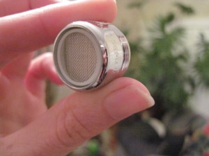
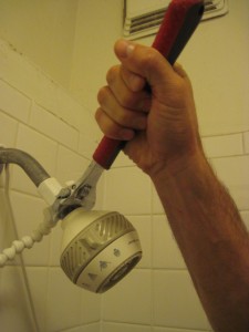
Because I live in a great city, the aerator I put on my bathroom sink and the shiny new showerhead I replaced my old water-guzzler with, were free- provided by the City of SF’s Water Conservation program to all city residents. And friends, the showerhead is even a nice one. See, they got all smart and designed showerheads and faucet aerators that have less water coming out of them and at the same time, have great water pressure thanks to air.

After learning more about water use in the house, it’s pretty obvious that showering and flushing the toilet are the

an aerator

biggest water-users. Replacing your showerhead with a well designed water-efficient model is a no brainer and ranges anywhere from cheap to free depending on where you live.

Toilets are a bit of a different story. If you have old toilets, chances are they use anywhere from 3.5 to 5 gallons or more a flush. Kinda crazy. The best thing you could do is replace your old toilets to High Efficiency models that use 1.28 gallons per flush. That is costly, for sure. Though, in many cities (including San Francisco) you can get rebates to pay for toilets or washers that are water-efficient. And you will save money on your water bill.

So what about apartment-dwelling, landlord-having people such as myself? First, you can do the dye test. Put a few drops of food coloring in the back of your toilet after it fills up after a flush and see if the dye comes into the toilet bowl. If it does, the black rubber thing at the bottom of your toilet tank, the flapper, is leaking and needs to be replaced. Cheap and easy.

Other than that, depending on where you live, there might be incentives and programs to help you or the owner of your house pay for high-efficiency toilets. Nothing like a little call to the ol’ landlord dangling an idea that will save them money on their water bill. And the beautiful thing about installing a new toilet or an efficient showerhead in your house is that long after the people who care about saving water are gone, the appliances remain, saving gallon after gallon.

For San Franciscans, check out Water Conservation programs at sfwater.org. One of the best services in the city is free Water Wise Evaluations. A trained conservation specialist comes to your home, reviews your water usage, and provides you with free aerators and efficient showerheads! Take advantage! Also listed on the website is info about rebates and other water-saving tips and programs.

For San Diegans, visit your Water Department’s page for conservation info including rebates, facts about graywater and rainwater harvesting, and also FREE Residential Water Surveys, just like SF’s.

And for you folks who live in the rogue and scandalous city of Los Angeles, check in with water conservation to see what’s going on!

Special thanks to Al at the SFPUC for showing me the ropes!


San Francisco Waterways: Lobos Creek

Written by admin on June 3rd, 2010

“With a resolute whisper, Lobos Creek flowed past our home on its mile-long journey to the ocean. It was bordered, at times covered with watercress and alive with minnows and tadpoles, and variety of larvae. In the spring, flowers were rampant and fragrant. In heavy fog, the creek was eerie, rippling out of nowhere and vanishing into nothingness.”

– Ansel Adams, 1985

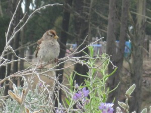
a cute Zonotrichia leucophrys

I couldn’t believe it. The last free-flowing creek in San Francisco and I hadn’t heard about it before? Lobos Creek. The primary water source for the Presidio. Flowing from within the Presidio’s federal borders, slowly fed by springs, its mouth at Baker Beach. I had to pay a visit.

Excited for a nice creek-side walk, I chose the Lobos Creek Dunes trail- which even had a little mini interpretive trail that included stops by the creek . As I began my stroll along the boardwalk, amid little rolling hills covered in low lying shrubbery- sprays of red and orange flowers here and there- I saw what looked like a river valley lined by a fence. And figured that the fence would open up somewhere for a good view of the creek. When we got to Number 2 on the interpretive trail, the stop marked “A Creek in the City,” there was a bench next to the barbed wire fence. And if I squinted real hard, I could see about a three-foot stretch of flowing water. He he. Some creek trail.

Undaunted, I continued to walk through the beautiful landscape. I’d find the creek in a bit. But I wanted to appreciate

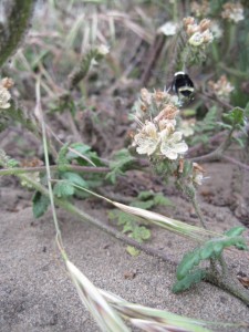
bumble bee cruising the dunes

the strange land I found myself in. Near a few buildings with Monterey cypress standing guard behind them, the Lobos Creek Dunes area is clear of trees, just small rolling hills. I wondered when the stark sand dunes would come. And then, I realized these were the dunes. Small rolling sand hills with all sorts of beautiful little plants covering them.

The foghorn sounding its low tuba, rumbling under my feet. Waves echoing softly behind me. White-crowned sparrows flitting low from bush to bush singing.  A red-tailed hawk screeching. I found myself in a landscape that was part of the larger dune ecosystem that covered half of San Francisco before 1776.

Thanks to the thoughtful and thorough restoration that the Presidio and a community of volunteers did, the area gives you an idea of what much of San Francisco must have looked and felt like. Salty. Foggy. Pink flowers glowing from their carpet of leaves. Windy. Orange Sticky Monkey flowers. Coast buckwheat. Only there were grizzly bears and bobcats roaming among the dunes too.

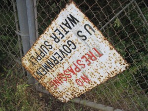
After I’d satiated myself watching bees and sparrows do their thangs, I decided to find the creek. And probably do some climbing and scrambling just to get there. I guess the Feds are protective of their water.

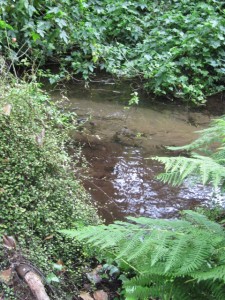
I walked along Lincoln Way and saw a tiny arm of creek. Climbed down an embankment with a little trail to get closer and found what looked to be a pump station on the creek. Winding my way through cypress trees stitched with lacy green leaves, I kept along the course of the creek, at this point five-feet across. The roar of the ocean got closer. For a couple hundred feet, I lost sight of the river, with another barbed wire fence just to my right and thick bushes inches to my left. I squeezed through and pushed on.

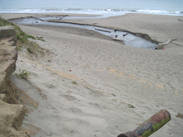
A glimpse of waves. I picked up my pace along the fence. The ground dissolved into soft sand. And I was there- at the beach- Lobos Creek winding its small self down into the Pacific.

Thank you to Found SF for alerting me to Lobos Creek. For great historical pictures of rivers and San Francisco, visit their site here and go on a virtual SF water tour.


Our water is river.

Written by admin on May 27th, 2010

“When we try to pick out anything by itself, we find it hitched to everything else in the Universe.”

– John Muir